01 · Observation
Every satellite, one feed
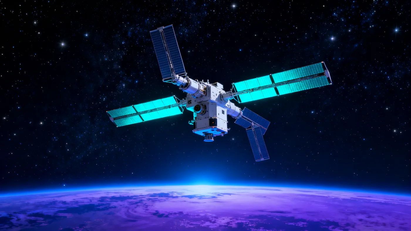
128 spacecraft, continuously tasked and de-conflicted, streaming a unified view of any coordinate on Earth.
ORBE stitches every satellite, sensor and signal into one living map of Earth — weather, motion and risk, streamed the instant it happens.
Every satellite. Every signal. One planet, rendered live — so you see Earth move before the world reports it.
A continuous downlink from low, medium and geostationary orbit — no gaps, no waiting for the next pass.
Optical, radar, thermal and RF layered into a single coherent picture your team can actually act on.
From photon to pixel to your dashboard in under 40 ms — the planet, as it is right now.
128 spacecraft, continuously tasked and de-conflicted, streaming a unified view of any coordinate on Earth.
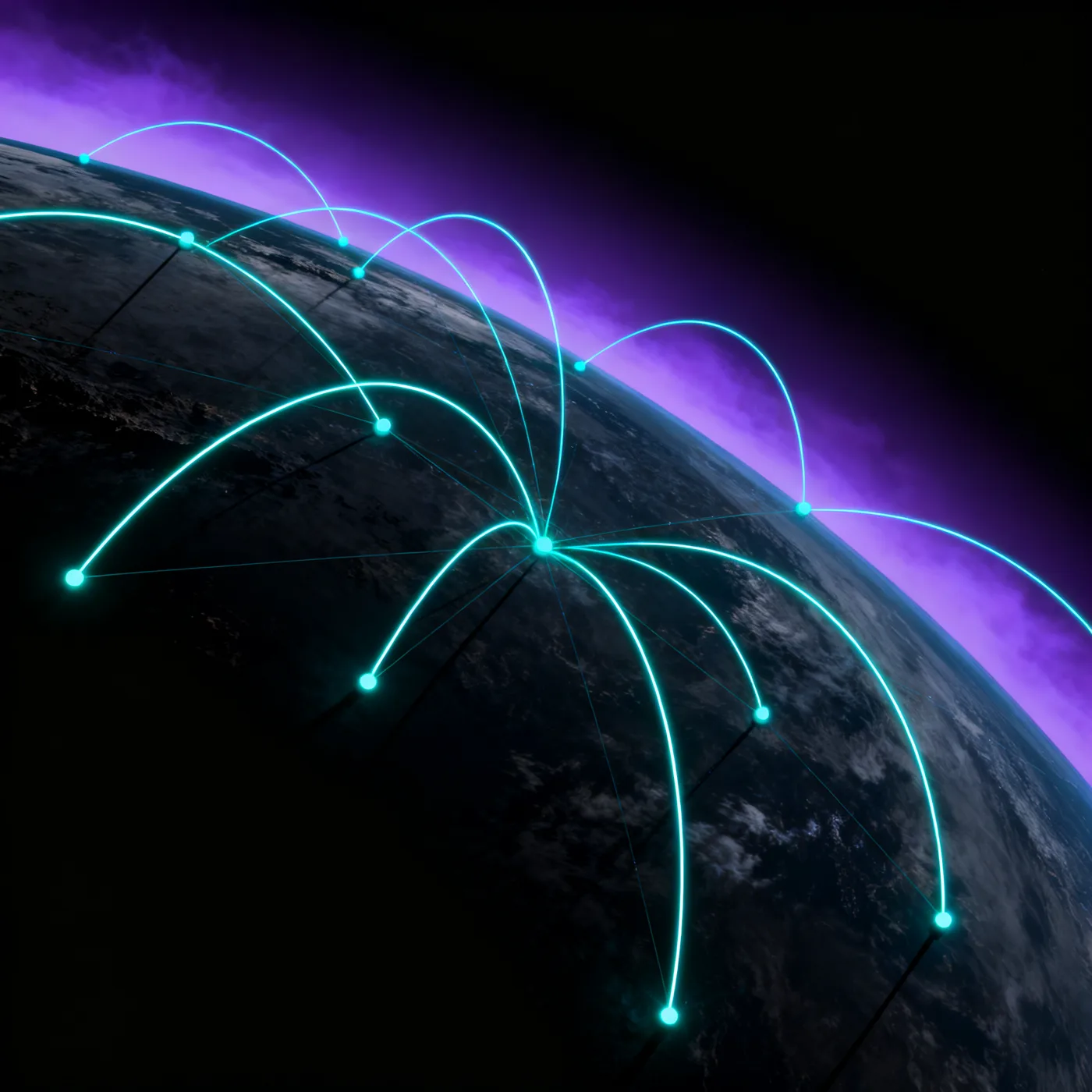
Ground stations on every continent hand off in milliseconds, so the link never drops as the planet turns.
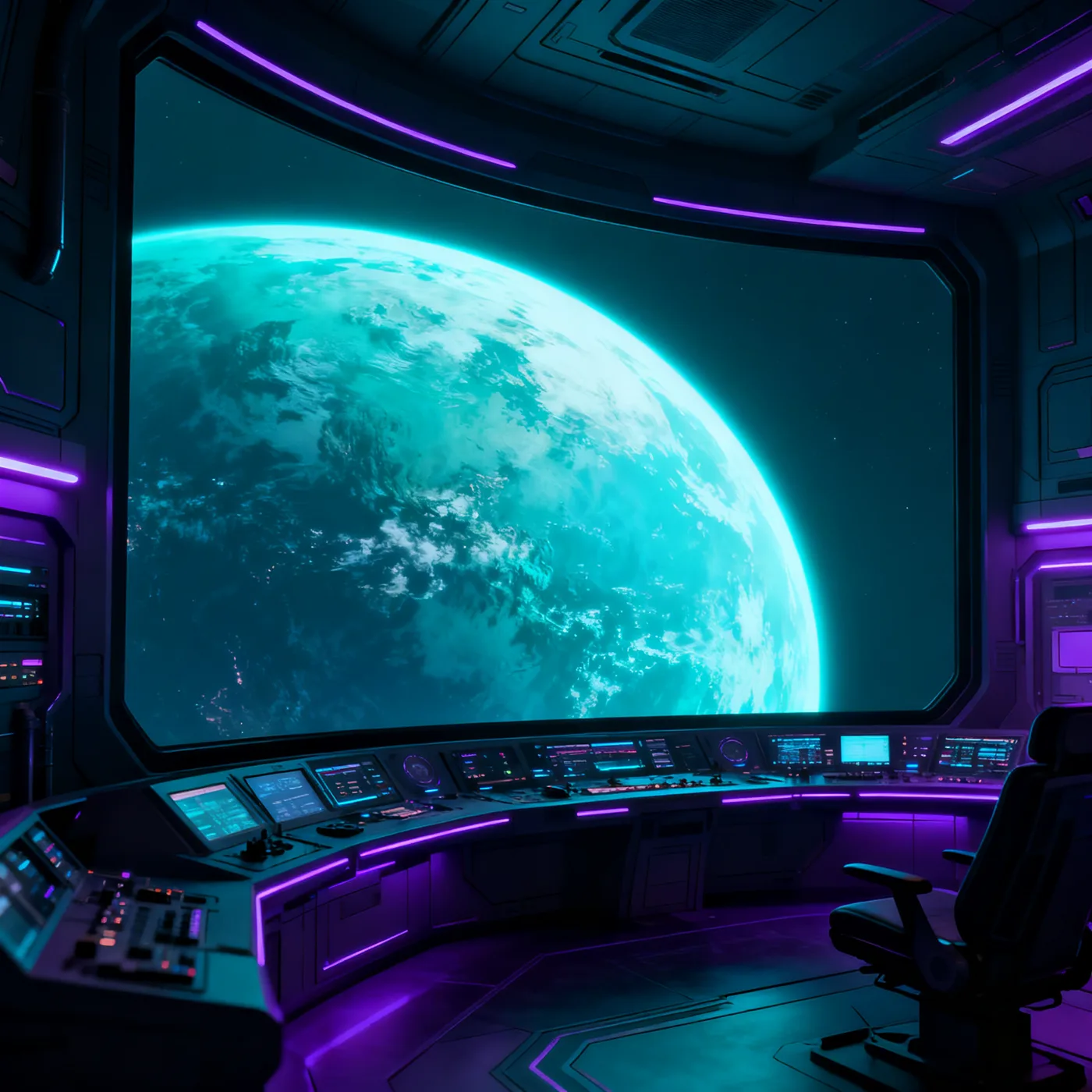
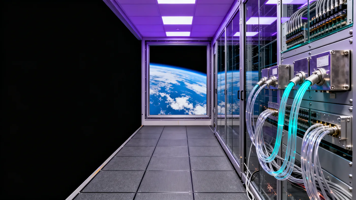
Raw downlink becomes decision-ready intelligence inside the core — fused, labelled and streamed to your screen.
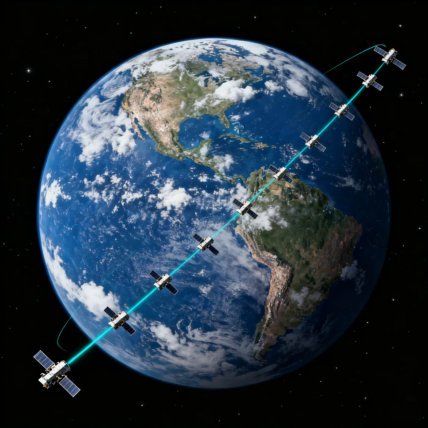
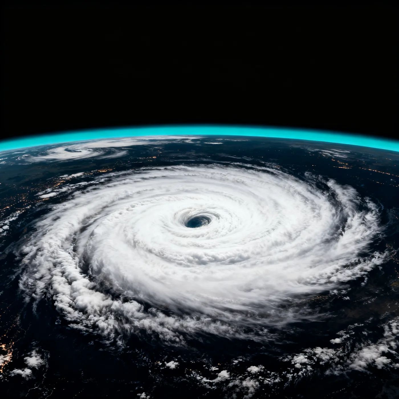
Constant re-tasking around the orbital ring catches change the moment it starts — storms, movement, anomalies.
Terabits of downlink hit the core every minute. It aligns, calibrates and fuses them into one coherent, queryable planet — then pushes the change to you before it becomes news.
“We stopped waiting on daily passes. ORBE shows the coastline changing while it changes.”
“One live map replaced six dashboards. Our ops room finally speaks the same language.”
“Latency this low changes what ‘situational awareness’ even means. It’s the present, not the past.”
Tell us what you need to watch. We’ll provision a live channel scoped to your area of interest and get you into the console within days.